
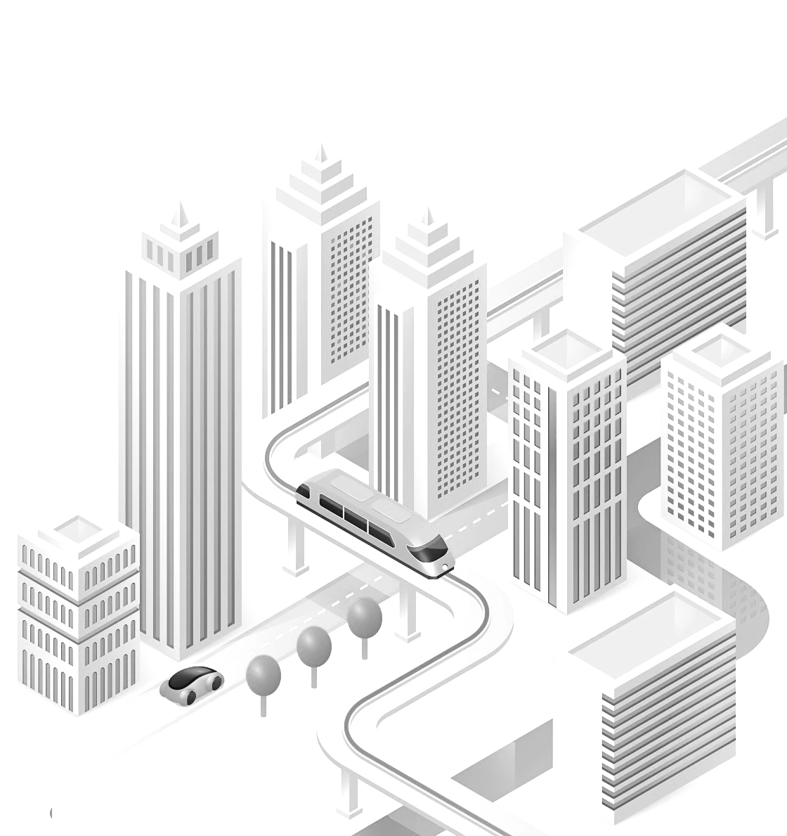
Public transportation has no end: it reinvents itself and follows its planned route - always supported by data, we indicate which routes to follow
Public transport data mapped in a standardized way and compatible with different solutions and systems: your operational skeleton designed
The theory with practice: integrating the forecast with the real time to reach the realized, following each step of the trip and generating new data
Re-evaluate what is planned based on what has been done: the data obtained throughout the process, confronted with innovative methodology, indicate which paths to follow
THE BEGINNING OF EVERYTHING
Registration of stopping points, routes and trips, and time slots – the mapped operational skeleton
Operational schedule management according to the period: normal schedule, for weekends, holidays, summer vacation, among others
Registration of relevant information to the user of the transportation system, either with a wide range (news) or directed to a specific public (alert for one or more routes)
From the registered data, we obtain the visualization of lines and points with the line’s mileage, the operational programming spreadsheet, and the simulation of the operation
In 2013, we introduced to the market a solution that shaped our history: the Mobilibus GIS editor. With it, it was possible to speed up the mapping of public transport data – stops, routes and schedules – in such a way that the whole world started using it – even if not under our brand. The editor was instrumental in getting Moovit’s collaborative community to account for more than 75% of its worldwide public transport database.
Five years later, we leveraged the power of our GIS editor to bring it within the reach of operators and agencies, as the basis for customized apps with the client’s visual identity. Currently, there are more than fifty apps that use data registered in our solution, reaching more than two million active users.
After ten years, our concept remains the same: to facilitate the day to day of those who work in public transport operations, speeding up the maintenance of the base and distributing information that impact the passenger’s routine through as many channels as possible.
Our information management solutions serve operators and agencies that wish to implement and maintain their own standardized database, using the full potential of bus2.app and bus2.info products
By formatting your public transportation database, the information is disclosed in official channels to users, generating confidence and supporting the decision to change other modalities for the public one.
This base can be used in studies to improve the transportation system, as a guide for the construction of calls for tender, and also to obtain resources and financing, which require the presentation of standardized operational information.
This standard for public transport data is known as GTFS, and you will find more information about it in this article
FROM PLANNED TO REALIZED
Allocation of vehicles in trips and schedules registered in the GIS Editor, to offer real-time updates in information solutions to the user. It allows changing the allocated vehicle during the operation, thus offering always updated data for those who use the transport and for those who manage it
Monitoring of the opening of trips by the operator, with status display and alerts for actions that need to be taken – such as vehicle replacement or delay in opening scheduled trips. The surveillance teams have their own app that allows the immediate exchange of vehicles in case of breakage.
In real time, everything that happens in the transportation system of your city or region. Delayed vehicles, advances, on time, at each communicated position, an update of the situation. Is there a traffic jam that impacts a certain region? A vehicle diverting route? Excessive speed? You define what to control.
During the operating day, track the efficiency of the system – how many trips on a line are no longer monitored? How many of its trips were late or early? After the operational day, analyze in detail how the operation went, with metrics such as fulfillment of trips, punctuality, mileage, among others
From the expertise we acquired with Editor GIS, and with the strengthening of partnerships with integrated systems – fleet monitoring and telemetry, mainly – we began to develop solutions that follow in practice what was mapped during the information management.
With the information of the foreseen operation, we can perform the allocation of the vehicles to their respective trips – or maintain the allocation coming from the integrated system – and monitor what is being displayed in the user information solutions, including measuring whether the operation presents advances or delays at each communication made. Several visualization options in real time are offered to the system operator, as well as the follow-up of the trips already monitored. With this concept, we are able to track more than one hundred thousand vehicles simultaneously, including information from different suppliers in the same project – all without being the hardware manager.
Once the operational day is over, we can store all the data obtained in a new bank, focused on a deeper analysis of the information: How many trips were missed? What is the average number of delays and advances? What is the overall efficiency of a particular line, or of the system as a whole? We provide the answers.
Our operational management solutions allow the operator and the managing body to audit the information in real time that reaches the user, following its evolution throughout the day and analyzing it in the following days.
REEVALUATE TO PREDICT
We carry out a complete analysis of the transportation supply: how many vehicles are used in the operation? What are their characteristics? Where are they allocated? What is their occupancy rate? Is this occupation linear or uneven?
What is the current demand on the transportation system? Who are the “personas”, where do they come from and go to, and their socio-economic profile? How do people in your city get around using public transportation today, now?
What paths to follow? What improvements can the system receive, based on the supply and demand presented? Is there room for a public transportation on demand, with more flexible routes, smaller vehicles, and more optimized?
Optimize the supply via demand induction: What if a certain “persona” was rewarded for accepting the indication of who manages the system, using other routes or times that have less occupation, within their routine?
In 2020, with the world facing the Covid-19 pandemic, the public transport segment faced its most delicate moment, with operational restrictions by managers, users’ flight to individual transport, and predatory competition of large apps, either among themselves or with other modes. In this scenario Aequante is born, which has as partners Planum – consulting company with over 30 years of expertise in the segment – and Mobilibus, specialized in data for public transport.
As premise, build a mobility based on data. In practice, to offer the market a new approach for the treatment of the metrics obtained in the whole process that involves a public transportation operation. An approach that is agile compared to what was offered before, and that allows the decision maker – transportation system managers – to change course based on what the data and technical knowledge indicates.
Operational data bases – forecast and realized – are confronted with the electronic ticketing provided by the operator or managing agency, and related to demographic and socio-economic bases. This universe of information is treated daily in an automated and anonymized process. Each day of operation is a new challenge for the operator. For us, a new scenario to be presented, bringing the operation from red to blue. The context of the data presented will indicate patterns of system behavior that can be improved.
As we said at the beginning of this page, our solutions go from the beginning to the… beginning again, after all, being able to see improvement opportunities and make modifications to complex transportation systems have become feasible with the methodology we employ. And this methodology is part of the Bus2 platform.
MORE POSSIBILITIES
Import and export in international standards of public transport data
Expertise in providing Google with real-time data for São Paulo and Metropolitan Regions
Own servers, with cost savings compared to map services
Requests for timetable or route information, complaints or questions regarding public transport should be directed to your city’s transport operator through the contact channels offered by them

₢ 2013 – 2024 Bus2 Planejamento, Operação e Inovação na Mobilidade Ltda.
CNPJ 54.067.360/0001-30. All rights reserved.
/bus2me